
The Devil's Cemetery
The "Devil's Graveyard" (Chertovo Kladbishche, also known as the "Death Clearing") is a legendary anomalous zone located in the dense subarctic taiga of the Kova River basin (a left tributary of the Angara) in the Kezhemsky District of Krasnoyarsk Krai, Siberia. According to 20th-century accounts, the site was a circular clearing 15 to 25 meters in diameter of charred, ash-covered earth completely devoid of plant life and strewn with animal skeletons that mysteriously accumulated on the ground
The legend
Danger Level: Orange (A hazardous localized subterranean gas/combustion site in pristine taiga with verified cattle fatalities, sensationalized into an extraterrestrial death zone) Folk lore attributed the origin of the barren clearing directly to the June 1908 Tunguska cosmic event, claiming that a dense meteorite fragment punched a subterranean chasm into the bedrock. During regional cattle-driving operations in the 1920s and 1930s, herdsmen alleged that livestock straying onto the clearing collapsed within minutes, while hunting dogs that stepped on the ash refused food and perished days later. Stories claimed the ground stayed permanently hot and snow-free throughout minus-40 Siberian winters, while the meat of deceased animals turned a bizarre crimson hue. Late-Soviet and 1990s media amplified the mystery into science fiction, claiming visitors suffered sudden toothaches and debilitating panic, compass needles spun erratically, and expeditions vanished without a trace in the woods.
What actually happened?
Geological and biochemical analyses provide a rational explanation without invoking extraterrestrial or paranormal elements: Subsurface smoldering coal fire: The Kova River basin lies within the vast Tunguska Coal Basin, characterized by near-surface coal seams, lignite, and peat horizons. Triggered by lightning strikes, taiga wildfires, or spontaneous oxidation, a shallow coal seam ignited underground. Such underground fires smolder without open flames for decades, destroying plant root networks, scorching topsoil to ash, and preventing vegetation growth. Suffocating gas pocket ($CO$ and): Smoldering coal under restricted oxygen generates massive amounts of carbon dioxide and carbon monoxide. Being 1.5 times denser than ambient air, pools in wind-sheltered clearings, forming an invisible, oxygen-free blanket several inches to a foot above ground level. Birds and quadruped mammals sniffing the soil inhaled pure asphyxiant gas, collapsing from acute hypoxia and $CO$ toxicity within minutes. The reported bright crimson flesh of dead animals is a textbook pathology marker of fatal carbon monoxide poisoning, caused by carboxyhemoglobin saturation in blood and muscular tissue. Magnetic anomalies: Regional Siberian trap rock complexes (dolerite and basalt sills rich in magnetite) cause predictable localized magnetic variations across Central Siberia. Extinction and forest reclamation: By the late 1970s and 1980s, the shallow coal seam burned out completely; ground temperatures cooled, toxic gas seepage stopped, and natural succession reclaimed the barren patch with moss, shrubs, and birch. Subsequent 1990s ufological expeditions (notably claims by Alexander Rempel) were scrutinized and identified as media hoaxes and staged findings.
History
The earliest oral accounts of a smoking fissure originated among indigenous Evenki hunters and Russian settlers around 1908. During Soviet agricultural collectivization in the 1920s and 1930s, trails along the Kova served as cattle routes toward Bratsk. In 1940, agronomist I. Salyapin conducted informal observations, documenting a smoking fissure and compass deviations. In the 1980s, popular science articles in Tekhnika Molodyozhi triggered an influx of amateur search expeditions. In 1991, an expedition from Vladivostok claimed to have found the clearing, though rival researchers demonstrated their markers were staged. Between 2010 and 2015, the construction of the Boguchany Hydroelectric Plant and the flooding of its reservoir submerged the lower Kova River valley and neighboring villages (such as Ust-Kova), permanently clearing out the remaining population.
Where is it?
Kezhemsky District, Krasnoyarsk Krai, central Siberia, Russia; situated within the wilderness of the middle-to-lower Kova River basin between the Michkan creek, former Karamychevo camp, and the flooded village of Ust-Kova (roughly 60 to 75 km southwest of Kodinsk).
Can you visit?
Travel to the area is hazardous, complex, and unrewarding for tourists. The territory is uninhabited swampy taiga without roads, bridges, or telecommunications. Following the filling of the Boguchany Reservoir, access requires heavy amphibious tracked vehicles or chartered helicopters. The original clearing cooled decades ago and is overgrown with trees and brush. Serious physical hazards include encounters with brown bears, treacherous peat bogs, tick-borne encephalitis, and extreme wilderness isolation away from rescue services.
The Bridgewater Triangle
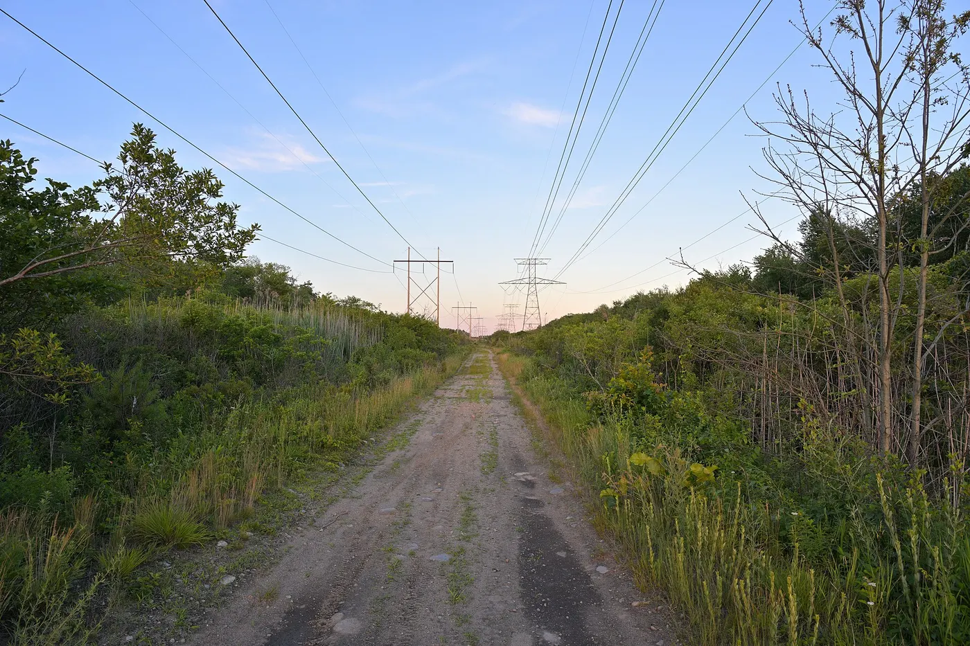
A two-hundred-square-mile patch south of Boston, centred on Hockomock Swamp — Wampanoag for "the place where spirits dwell". Every sort of story collects here at once: lights in the sky, Bigfoot sightings, giant birds, ritually killed livestock, disappearances. The cryptozoologist Loren Coleman gathered them under one name in the 1970s, and the triangle has lived as a single anomaly since, though nothing but geography connects the stories.
Comments
No comments yet. Be the first.